
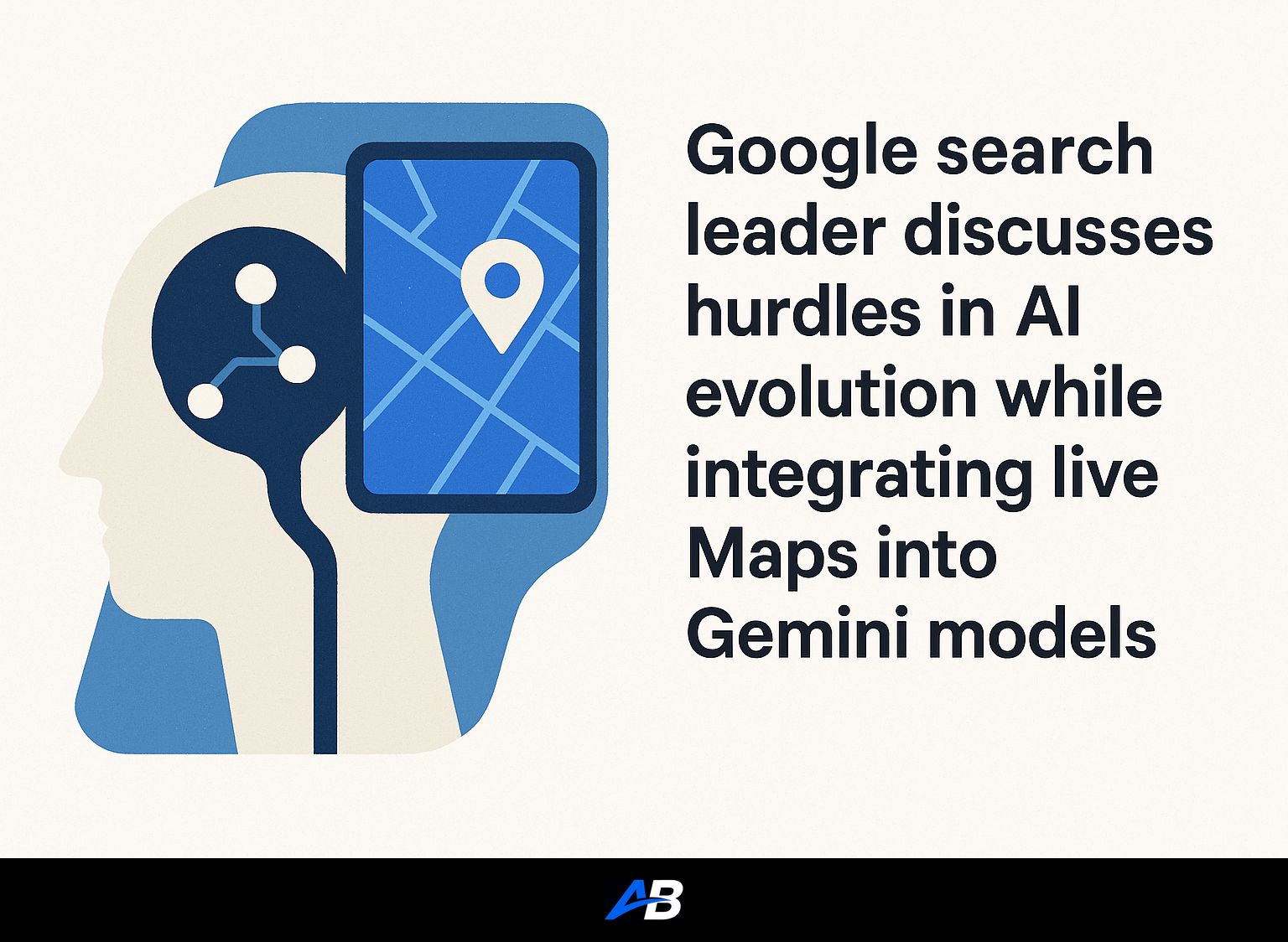
Google’s recent unveiling of its “Grounding with Google Maps” feature in the Gemini API promises to revolutionize how developers utilize location-based data and enhance user experiences across various applications.
Contents
Short Summary:
- New feature enhances AI applications by integrating over 250 million places from Google Maps.
- Developers can create personalized, location-aware experiences for users across industries like travel, real estate, and retail.
- The integration combines Google Maps data with Google’s AI models, offering more insightful responses to geographically focused queries.
In an exciting development, Google has announced the launch of a new tool in the Gemini API titled “Grounding with Google Maps.” This feature allows developers to seamlessly integrate dynamic geospatial data from Google Maps into their applications, thereby enhancing the interactivity and relevancy of responses provided by AI models. By leveraging data from over 250 million places, developers can now create a new generation of intuitive, location-aware AI products.
As Google stated,
“Grounding with Google Maps provides rich, up-to-date data to the model for any query where location information is helpful.”
This signifies a massive leap in the capabilities of AI to understand and interpret user queries based on geographical contexts. For instance, if a user requests recommendations for the best Italian restaurants within a specified area, the Gemini model can utilize this integration to deliver precise results, alongside relevant information such as business hours, reviews, and photos.
The significance of this integration cannot be understated. Developers will find it relatively easy to activate the “Grounding with Google Maps” feature through the Gemini API, allowing querying of structured data that includes addresses, operational hours, ratings, and more. The following Python code snippet illustrates how users can activate this feature:
from google import genai
from google.genai import types
client = genai.Client()
prompt = "What are the best Italian restaurants within a 15-minute walk from here?"
response = client.models.generate_content(
  model='gemini-2.5-flash-lite',
  contents=prompt,
  config=types.GenerateContentConfig(
    tools=[types.Tool(google_maps=types.GoogleMaps())],
  ),
)
print(response.text)
if grounding := response.candidates[0].grounding_metadata:
  if grounding.grounding_chunks:
    print("Google Maps sources:")
    for chunk in grounding.grounding_chunks:
      print(f"- [{chunk.maps.title}]({chunk.maps.uri})")
This approach enables developers to create user-friendly interfaces that include interactive Google Maps widgets, providing an immersive experience laden with detailed visual information. Imagine the various applications of this feature: travel apps can generate complete itineraries including the necessary details like distance and travel times. Real estate platforms can recommend kid-friendly neighborhoods by pinpointing local amenities such as schools and parks.
The ability to enhance app responses with grounded location data opens up a multitude of possibilities. For instance, a user could ask,
“Does the café on the corner of 1st and Main have outdoor seating?”
and receive an accurate, grounded response thanks to the innovative AI capabilities that ground user interactions to Google Maps data.
Moreover, the synergy between “Grounding with Google Maps” and “Grounding with Google Search” can yield even more impressive results. For example, a query like
“Where can I find live music on Beale Street?”
utilizes both tools. Maps can provide details about a venue’s hours, while Search can relay the specifics of show timings. Google reports that internal evaluations demonstrate notable enhancements in response quality when combining the two features.
According to Google’s documentation,
“Grounding with Google Maps is ideal for applications that require accurate, up-to-date, and location-specific information.”
By incorporating this technology, developers can provide users with more personalized and informed experiences. This is particularly critical for industries like travel and logistics, where geography inherently shapes user interactions and expectations.
Grounding with Google Maps is not just an augmentation—it’s a fundamental transformation in how location-based queries are resolved. This shifts the focus from delivering static lists of information to creating nuanced responses that anticipate user needs. This goes a long way toward turning mundane queries into personalized conversations.
Use Cases and Practical Applications
With the introduction of Grounding with Google Maps, Google is paving the way for a variety of use cases that span across several industries:
- Travel Planning: A user could request a full day itinerary in a city, receiving a structured plan that includes places to visit, distance, and travel time—where previously, the answer may have been just a list of suggested spots.
- Real Estate: Applications could offer tailored advice for families searching for homes near schools or parks, using local data to connect families to amenities.
- Logistics: Delivery services could improve route generation and timing by factoring in real-time data from Maps and providing users with location-aware updates.
For travel applications, the ability to provide concrete plans rather than mere suggestions can significantly enhance user satisfaction. Users might prompt,
“Plan a day in San Francisco for me,”
and receive a sufficient roadmap of their adventures, reflecting current business hours and local holidays.
Additionally, the potential to craft hyper-local recommendations will cater to the increasing consumer desire for personalized services. Imagine a user requesting
“Find me the best coffee shops in my neighborhood,”
and receiving a tailored list complete with individual reviews and insights, enhancing the consumer’s decision-making process.
Enhanced User Experience with Grounding Features
In this era of data-driven experiences, users increasingly expect the responses to be not just accurate but relevant. Grounding with Google Maps elevates the user’s interaction significantly, offering enhanced contextual information and personalized insights that other applications struggle to provide.
For example, in response to user queries, the models can offer contextual widgets that display Google Maps data live, allowing real-time interaction and updates. This means users can see exactly where a location is, view pictures, read reviews, and even check for current conditions—an experience that elevates typical search methods.
The introduction of contextual tokens serves to enrich user interactions further. The Gemini API’s ability to return tokens allows developers to integrate interactive maps into their applications, showing up-to-date visuals of locations based on user queries. When properly implemented, the result is an engaging, informative experience that keeps users coming back.
Future Prospects
Looking ahead, there’s a visible momentum towards deeper integrations of generative AI into our daily applications, and Google’s continuous evolution of Gemini and Maps suggests a seamless transition toward more intelligent, context-aware applications. The industry anticipates that this approach will not only increase engagements but also reshape how developers think about integrating their applications with foundational services such as Maps.
As competition heats up—especially with other tech giants like Amazon and Apple launching their own AI-infused offerings—Google’s integration of sophisticated AI into Maps aims not just to keep pace but lead in a rapidly changing landscape.
“This marks a significant shift in user interactions with apps,”
an industry analyst stated, reinforcing that user-centric design will dictate competitive advantages in the years ahead.
The evolving capabilities of AI and technology combined with a rich data source like Google Maps sets a promising stage. As developers embrace these innovations, we can expect to see an ever-increasing suite of applications powered by AI, fundamentally altering the landscape of geospatial inquiries.
In conclusion, Grounding with Google Maps, integrated within the Gemini models, signifies a new era of intelligent, responsive applications able to leverage up-to-date location data to enhance user experiences. Whether for travel, logistics, or localized recommendations, this feature is a pivotal step toward reinventing how we engage with geography via technology.
Stay updated with the latest in AI and SEO developments at Latest AI News and position your applications at the forefront of innovation by harnessing the power of tools like Autoblogging.ai.
Do you need SEO Optimized AI Articles?
Autoblogging.ai is built by SEOs, for SEOs!
Get 30 article credits!